Take a break from the interstate with this 68-mile/109-kilometer ramble through the southern Cascade foothills to view small Douglas County towns, clearrunning streams, and tranquil farm and forest.
Along the South Umpqua River
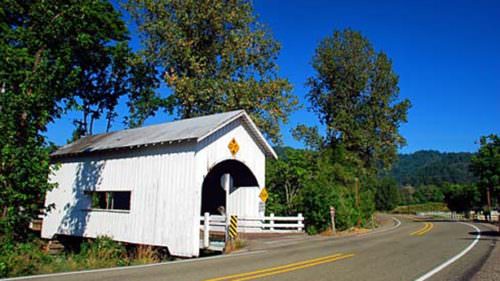
The tour begins in Canyonville, at exit 98 off I-5. It leads along the South Umpqua River, an important source of water for the region’s rich farmland. Several side creeks enter the South Umpqua as the road bends with the river. Unlike most covered bridges built to protect the deck timbers from weather, the Milo Academy Covered Bridge deck is steel; when the original 1920 covered bridge was rebuilt in 1962, locals missed the previous wooden housing and added it for aesthetics.
The tour route continues east to Tiller. The Tiller Ranger Station is listed on the National Register of Historic Places, built by the Civilian Conservation Corps in the 1930s. The historic area of the complex covers about 12 acres and includes nine structures, including a cupola-style fire lookout that is open to the public.
Into Umpqua National Forest
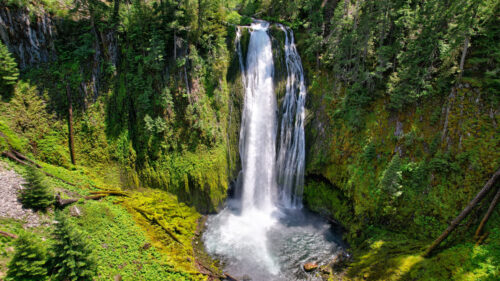
From Tiller the tour route swings north into the Umpqua National Forest. From here the route winds under stands of old-growth Douglas fir, Oregon’s state tree. Several thousand acres of old-growth trees, including mountain hemlock, survive in this national forest. The route continues ambling through the forest to Red Top Pond, a reservoir popular for fishing and picnicking. (Note that this steep and narrow route is not appropriate for motor homes and trailers. The route may be closed in the winter.)
From Forest to Farmland
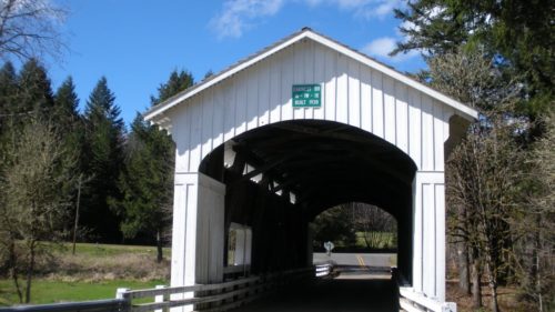
From Red Top Pond, the forest service road joins CR-18, which follows South Myrtle Creek through hills dotted with cattle and sheep. Myrtle and native madrones — striking with their peeling red bark — thrive along with oak and maple. The route ends in Myrtle Creek, where Millsite Park has re-created the 1930 Horse Creek Covered Bridge from Lane County.
Want more details?
Order a free Oregon Scenic Byways guide, or view a map of the Myrtle Creek-Canyonville Tour Route online.